
About All Tours And Antelope Canyon ToursFrom Sedona ToursFrom Page ToursFrom Las Vegas ToursUpper Antelope CanyonLower Antelope Canyon ToursSelf-Guided Tours Directions Hours & Fees
Find Tours 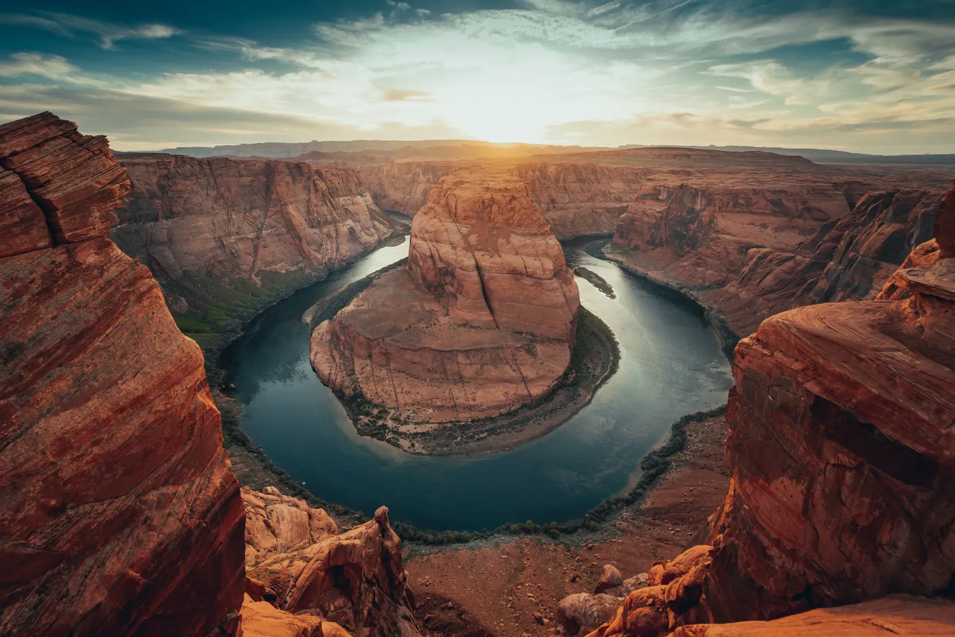
The Colorado River cuts a 270-degree curve through 1,000 feet of Navajo sandstone just south of Page, Arizona. This entrenched meander exposes geological layers dating back 190 million years.
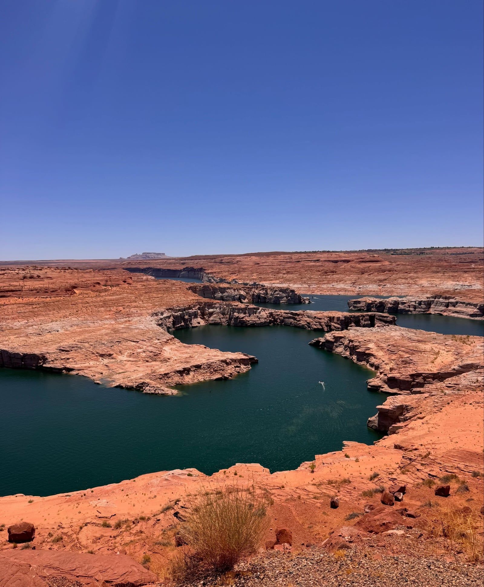
Water carves a 270-degree arc through solid rock five miles downstream from the Glen Canyon Dam. Flowing 1,000 feet below the canyon rim, the Colorado River exposes crossbedded layers of Navajo sandstone. Visitors stand on the edge of the Colorado Plateau in Coconino County, Arizona, looking directly down at emerald-green water cutting through red-orange cliffs. The site sits just off U.S. Highway 89, 125 miles north of Flagstaff and 280 miles east of Las Vegas.
Extreme desert conditions define the experience. Summer temperatures regularly exceed 100°F (38°C) on the exposed, unshaded rim. Walking the 1.5-mile round-trip hike requires navigating hard-packed sand with no water fountains or emergency facilities available. Heat exhaustion threatens hikers arriving during midday hours without at least a liter of water. Winter brings biting winds that demand heavy layers. Two covered shade structures with wooden seating offer the only relief from the intense sun along the 0.6-mile path to the edge.
Jurisdiction over the land splits between three entities. The City of Page manages the parking lot and trailhead, charging a mandatory $10 fee for passenger vehicles. Commercial vans pay $35, mid-size buses cost $70, and full-size buses require a $140 payment. The National Park Service oversees the canyon itself as part of the Glen Canyon National Recreation Area. South of the trail, the Navajo Nation controls the adjacent territory. National Park passes hold no value at the entrance gate. Fee collectors staff the booths from sunrise to sunset, 365 days a year.
Travelers arriving by air land at Page Municipal Airport via Contour Airlines. Direct flights from Phoenix and Las Vegas start at $29. Avis provides the only on-site rental cars for the five-mile drive south to the trailhead. Visitors cannot enter the lot before sunrise or after sunset. Hikers already inside may stay past dusk to walk out in the dark.
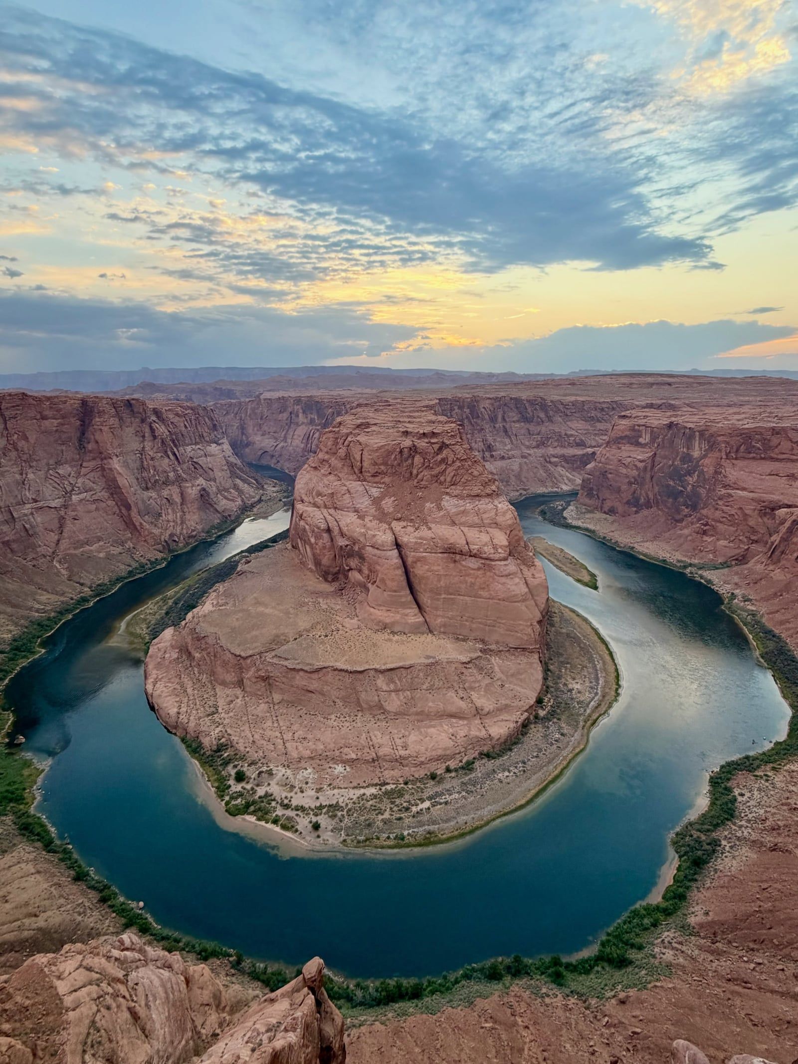
Tectonic uplift trapped the meandering Colorado River in its bed five to six million years ago. During the late Neogene period, the rising Colorado Plateau forced the water to cut straight down through the landscape. This rapid downward cutting created the entrenched meander visible today. Indigenous communities arrived in the Colorado River Basin at least 8,000 years ago. Long before modern borders existed, tribes relied on the waterway for sustenance, transportation, and spiritual practices. Ancestral Puebloans, Hopi, and Navajo people maintained deep ties to this specific stretch of the canyon. The river provided a rare, reliable water source in an otherwise hostile desert environment.
Traffic to the rim exploded in the late 20th century. Digital photography and social media popularized the 270-degree curve, transforming a quiet local overlook into a global destination. Thousands of daily visitors overwhelmed the original dirt pull-offs along U.S. Highway 89. Illegally parked cars on the highway shoulders created severe traffic hazards and degraded the fragile desert ecosystem. Foot traffic from massive crowds eroded the sandstone edge. Fatal falls occurred as people pushed closer to the unfenced 1,000-foot drop to capture photographs. Local authorities recognized the site could no longer function without formal management.
Local and federal agencies intervened to stabilize the site. Launching a massive infrastructure overhaul in 2018, the City of Page and the National Park Service constructed a formalized, paved parking lot at mile marker 544. Highway shoulder parking became strictly illegal. Crews completely rerouted the original sandy trail, replacing it with a hardened path. A raised wooden-and-steel viewing platform with heavy metal guardrails opened on the left branch of the trail. Workers completed an ADA-compliant path to this platform in 2020, allowing wheelchair access to the rim. Commercial filming and large group gatherings now require special use permits obtained 30 days in advance.
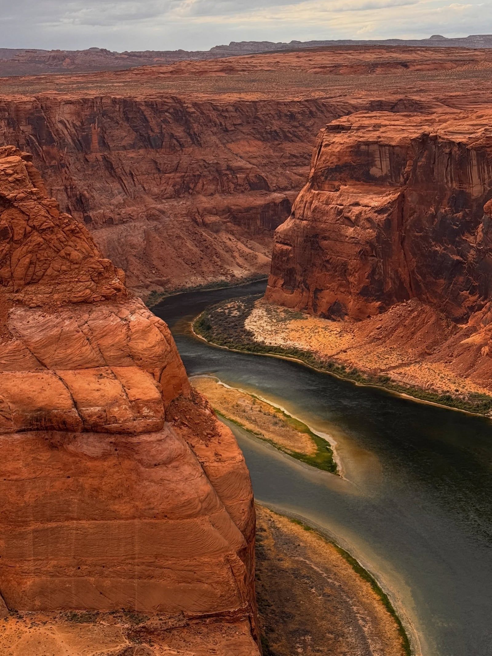
Sheer walls of red-orange Navajo sandstone plunge 1,000 feet down to the Colorado River. Formed during the Jurassic period over 190 million years ago, these crossbedded rock layers originated from massive sand dunes covering the region. Wind and water compressed the sand into porous rock. Groundwater seepage occasionally creates dark streaks, known as desert varnish, cascading down the vertical rock faces. The canyon rim stretches for hundreds of yards, mostly devoid of any safety barriers.
The river itself flows green and cold. This distinct color results directly from the Glen Canyon Dam located five miles upstream. Trapping warm, sediment-heavy water in Lake Powell, the dam releases clear, frigid water from the bottom of the reservoir. The lack of sediment allows algae to thrive, giving the river its emerald hue. Sandbars form along the inner curve of the bend, providing resting spots for rafters navigating the 15-mile stretch between the dam and Lees Ferry. From the rim, these massive boats look like tiny specks against the canyon walls.
Erosion continues to alter the landscape. The river constantly undercuts the outer edge of the curve, while depositing sand on the inner bank. Outside the fenced viewing platform, the sandstone rim remains highly unstable. Loose sand and slickrock cover the unfenced sections of the cliff edge. Stepping too close to the rim on these unmaintained sections risks triggering a rockfall. Photographers setting up tripods outside the guardrail area must test the stability of the rock before standing near the drop.
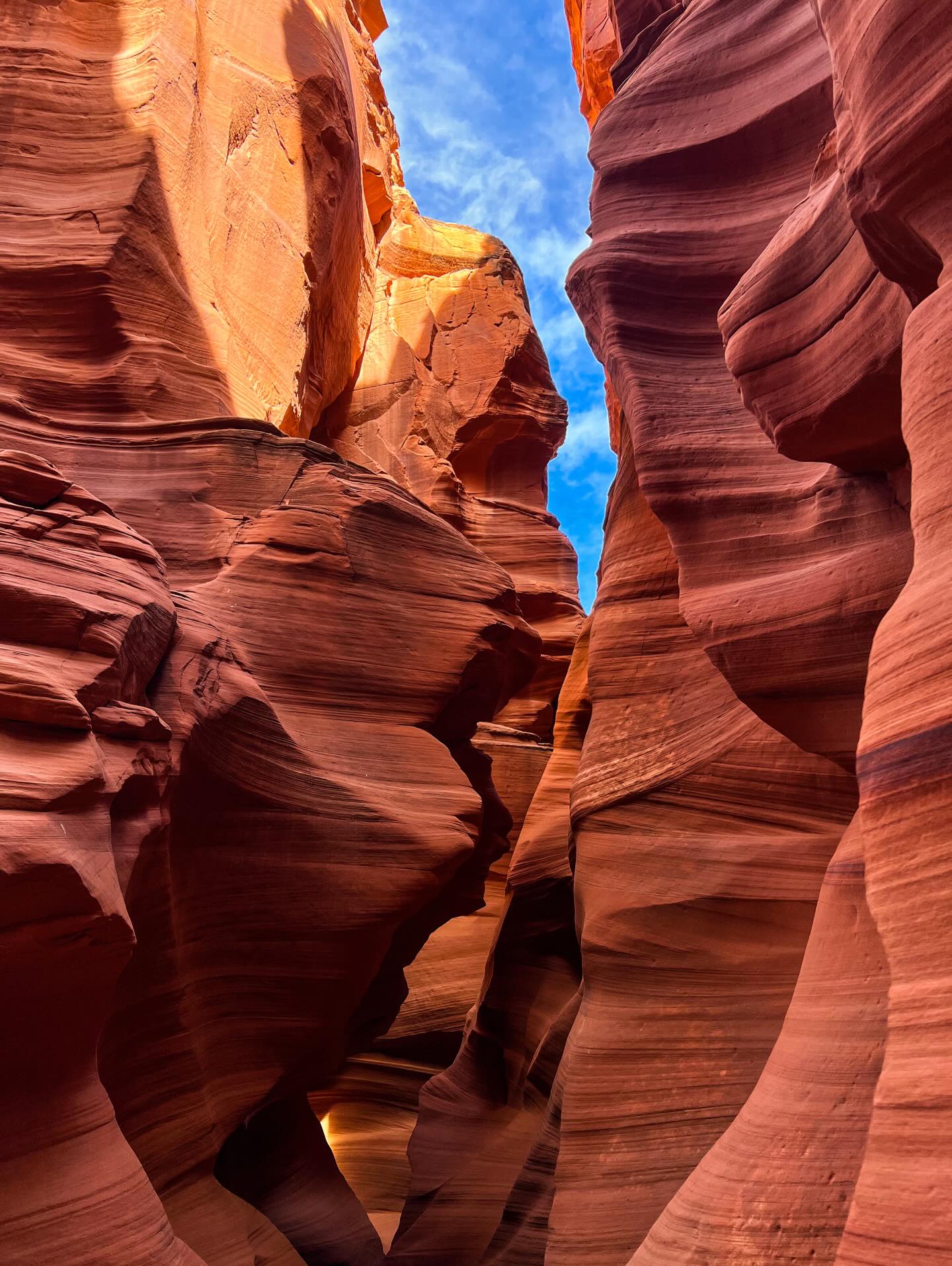
The geological forces shaping Horseshoe Bend extend throughout the surrounding region. Antelope Canyon sits just 15 minutes away, featuring narrow sandstone corridors carved by flash floods. Ten minutes north, the Carl Hayden Visitor Center at the Glen Canyon Dam offers sweeping views of Lake Powell. The massive reservoir provides access to Rainbow Bridge National Monument, accessible only by boat or a grueling 14-mile backcountry hike. Closer to the dam, the easy one-mile Hanging Gardens Trail leads to a rare desert oasis supported by the same groundwater seeping through the sandstone walls.
Multiple indigenous nations recognize the Colorado River Basin as a sacred landscape. The Navajo (Diné), Hopi, and Ancestral Puebloans have maintained physical and spiritual connections to these canyons for millennia. Providing life-sustaining water in an arid environment, the river features prominently in creation stories and traditional ceremonies. The land immediately south of the viewing area remains under the direct jurisdiction of the Navajo Nation. Respecting these boundaries requires visitors to pack out all trash and follow strict Leave No Trace principles.
Modern visitors often fail to recognize the jurisdictional boundaries intersecting at the canyon rim. The viewing platform sits on federal land managed by the National Park Service. The parking lot belongs to the City of Page. Crossing the southern boundary puts hikers on Navajo territory, where different laws and access rules apply. Local regulations strictly prohibit removing rocks, disturbing vegetation, or leaving behind any waste. The intersection of these three jurisdictions requires complex management strategies. Law enforcement duties fall to different agencies depending on where an incident occurs. A medical emergency on the trail involves City of Page responders, while a rescue on the cliff face requires National Park Service personnel.
The visual impact of the site heavily influences contemporary landscape photography. The 270-degree curve forces photographers to use ultra-wide-angle lenses to capture the entire meander in a single frame. Late afternoon sunlight between 4:30 pm and 6:00 pm illuminates the river, lifting it out of the deep shadows cast by the 1,000-foot walls. Arriving at sunrise avoids the massive crowds that typically fill the viewing platform by 9:00 am. Tripods are permitted at the overlook, though space becomes limited during peak hours.
Drones are strictly banned at the site and throughout the entire Glen Canyon National Recreation Area.
The river's emerald color comes from the Glen Canyon Dam trapping sediment upstream, allowing algae to thrive in the clear water.
The surrounding Navajo sandstone formed from massive sand dunes over 190 million years ago during the Jurassic period.
Three different entities—the National Park Service, the City of Page, and the Navajo Nation—intersect at this single location.
National Park passes are rejected at the gate because the City of Page owns and operates the parking lot.
Ground temperatures on the trail frequently get hot enough to burn the paws of dogs during the summer months.
Highway parking is illegal, and local authorities immediately tow vehicles left on the shoulder of U.S. 89.
The overlook is free, but the City of Page charges a $10 parking fee per passenger vehicle. National Park passes are not accepted at the gate.
The round-trip hike covers 1.5 miles. Walking from the parking lot to the edge takes about 15 to 20 minutes each way.
No. The National Park Service strictly prohibits the use of drones and all uncrewed aircraft at the site.
The left branch of the trail features an ADA-compliant, hard-packed surface leading to a fenced platform. Manual wheelchairs require an assistant for the uphill return leg.
Vault toilets are located exclusively in the parking lot. The trail and the canyon rim have no restrooms or running water.
No sanctioned trail connects the rim to the river. The canyon walls drop 1,000 feet vertically, making any descent illegal and fatal.
Pets can hike the trail if kept on a leash. Owners must bring extra water and protect their dogs' paws from the scorching sand.
Late afternoon light between 4:30 pm and 6:00 pm illuminates the water. This prevents the river from disappearing into deep shadows.
The gates open at sunrise and close at sunset 365 days a year. This schedule includes major holidays like Christmas and Thanksgiving.
The South Rim of Grand Canyon National Park is 130 miles away. Driving between the two locations takes approximately two and a half hours.
Browse verified tours with free cancellation and instant confirmation.
Find Tours