
About All Tours And Antelope Canyon ToursFrom Sedona ToursFrom Page ToursFrom Las Vegas ToursUpper Antelope CanyonLower Antelope Canyon ToursSelf-Guided Tours Directions Hours & Fees
Find Tours 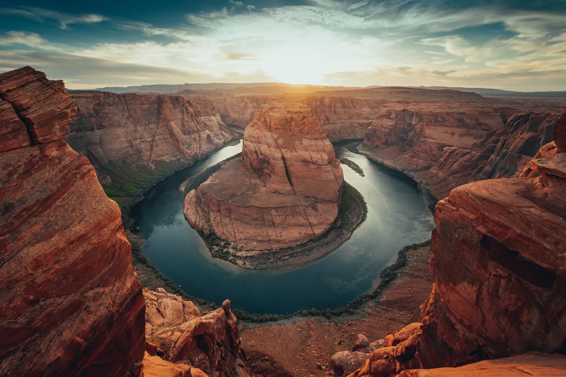
Walk the 1.5-mile round-trip trail to a 1,000-foot cliff plunging straight down to the Colorado River. This 270-degree incised meander exposes red-orange Navajo sandstone layers dating back over 190 million years, contrasting sharply with the emerald-green water below.
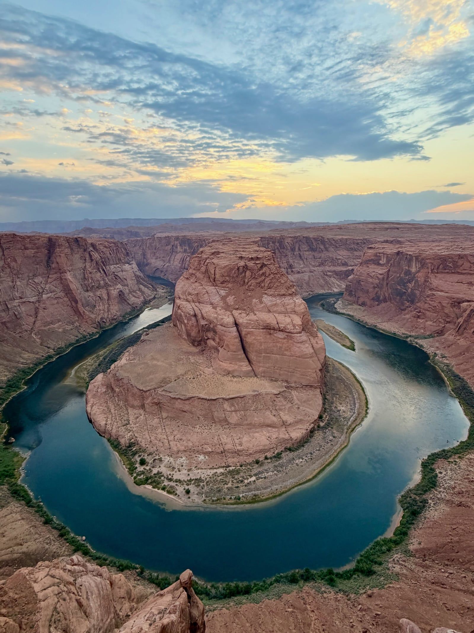
Find Guided ToursHorseshoe Bend is a horseshoe-shaped incised meander of the Colorado River located near Page in Coconino County, Arizona. Situated five miles downstream from the Glen Canyon Dam and Lake Powell, this geological feature is a major landmark within the Glen Canyon National Recreation Area. The river canyon forms a dramatic 270-degree curve.
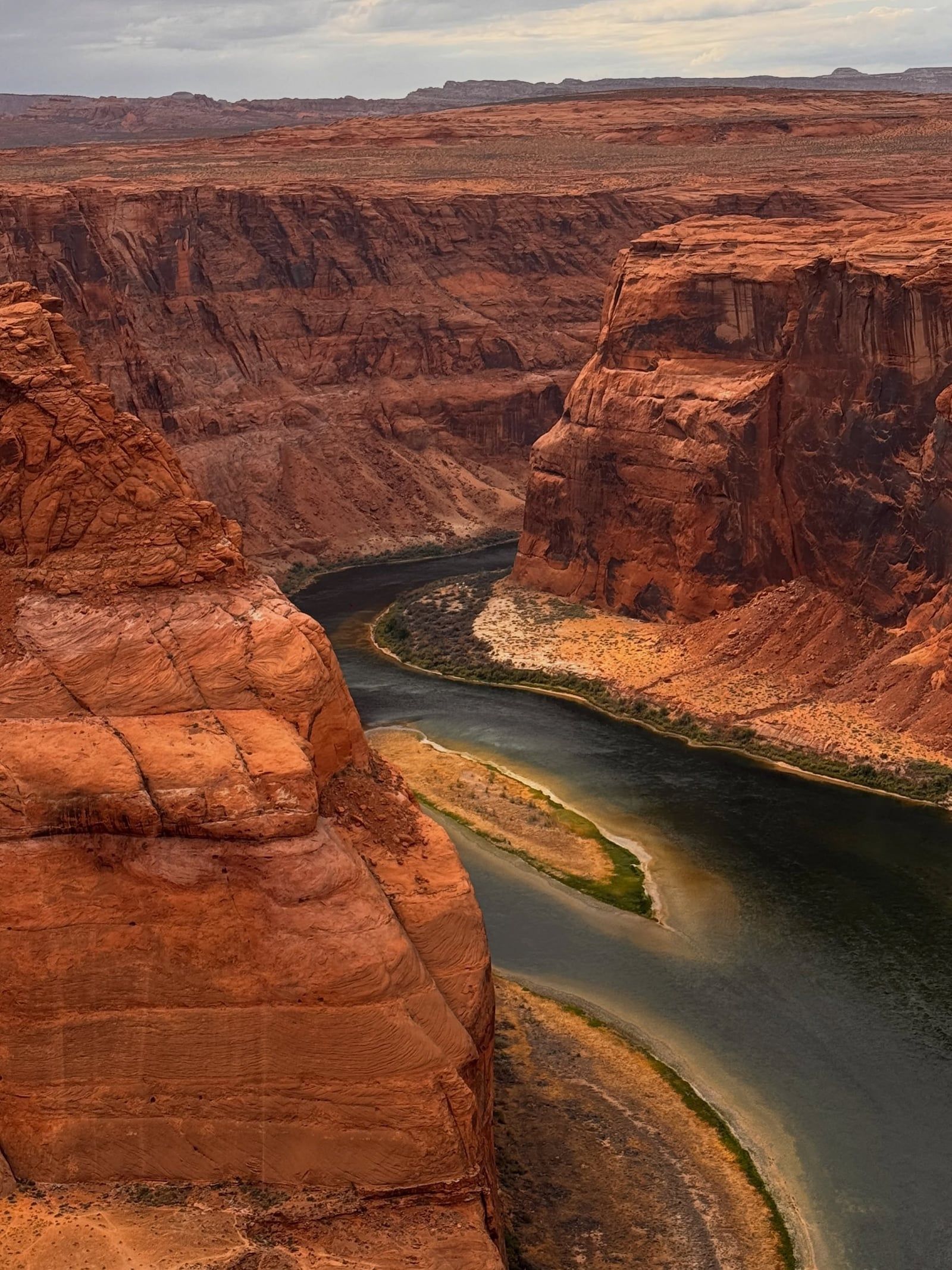
Geologically, the bend is a classic example of an entrenched meander. It formed five to six million years ago during the late Neogene period as the Colorado Plateau uplifted. This tectonic shift trapped the meandering river in its bed, forcing the water to rapidly cut downward through the landscape. The resulting canyon walls plunge approximately 1,000 feet to the water below. These steep cliffs expose distinct, crossbedded layers of Navajo sandstone that date back over 190 million years to the Jurassic period.
The human history of the surrounding Colorado River Basin spans at least 8,000 years. Indigenous communities, including the Navajo, Hopi, and Ancestral Puebloans, initially inhabited the area and relied on the river for sustenance and transportation. Today, these groups maintain a deep spiritual and cultural connection to the landscape. The site also represents a unique intersection of jurisdictions, encompassing land managed by the National Park Service, the City of Page, and the Navajo Nation.
During the late 20th century, the location rapidly gained popularity as a global tourist destination. To manage the massive influx of modern visitors, the City of Page and the National Park Service collaborated on major infrastructure developments. These safety and accessibility upgrades included a trail renovation and a fenced viewing platform completed in 2018, followed by an ADA-compliant path in 2020.
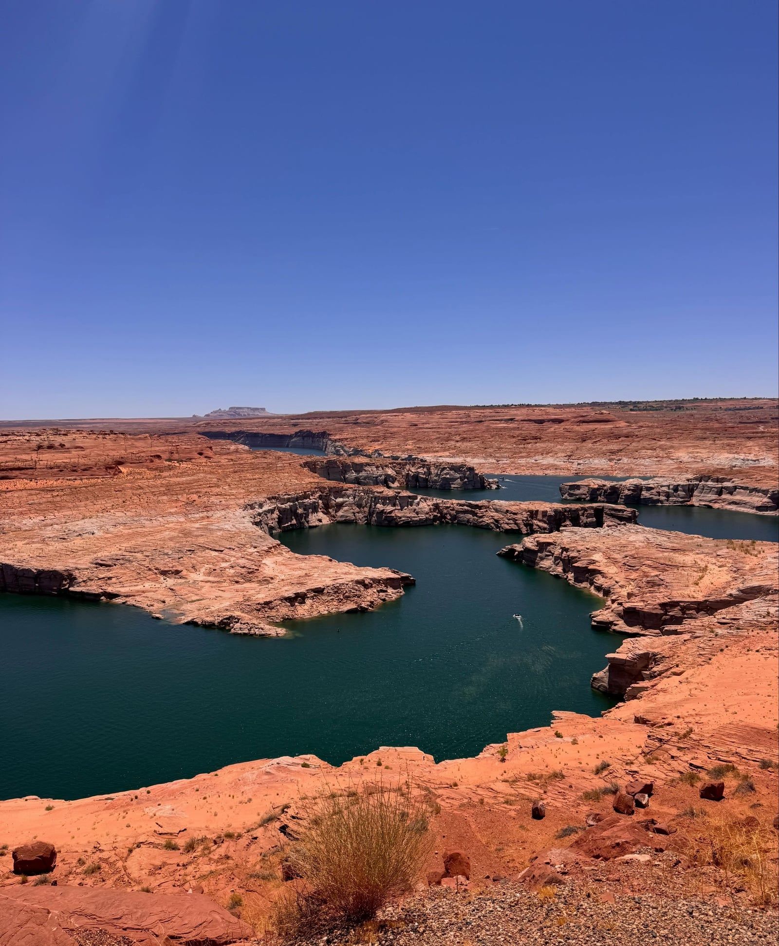
Discover the full history and cultural significance on our About page.
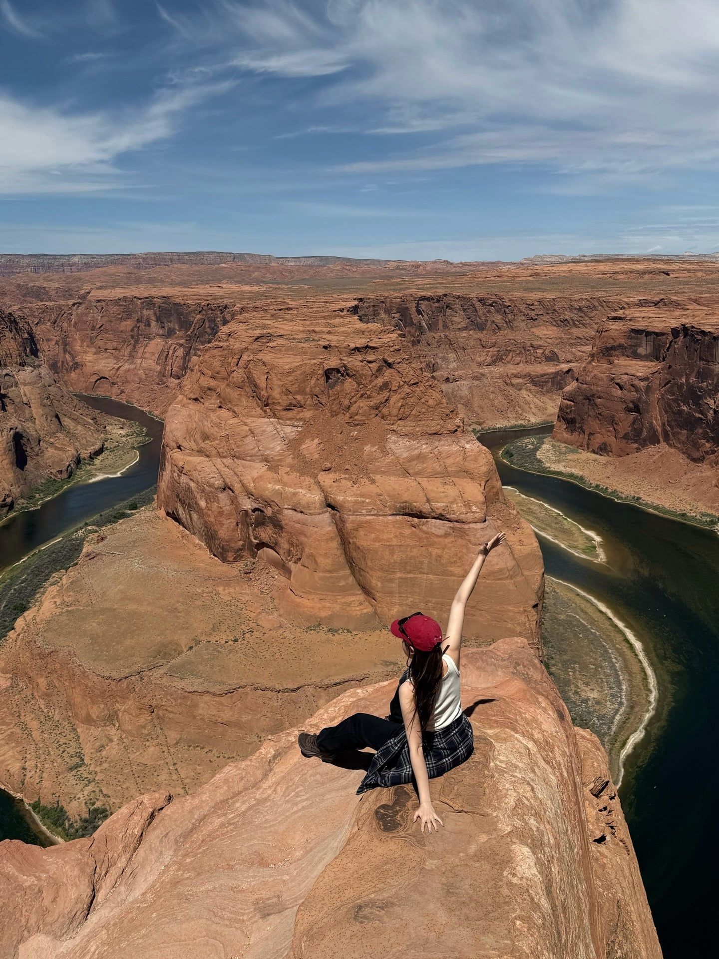
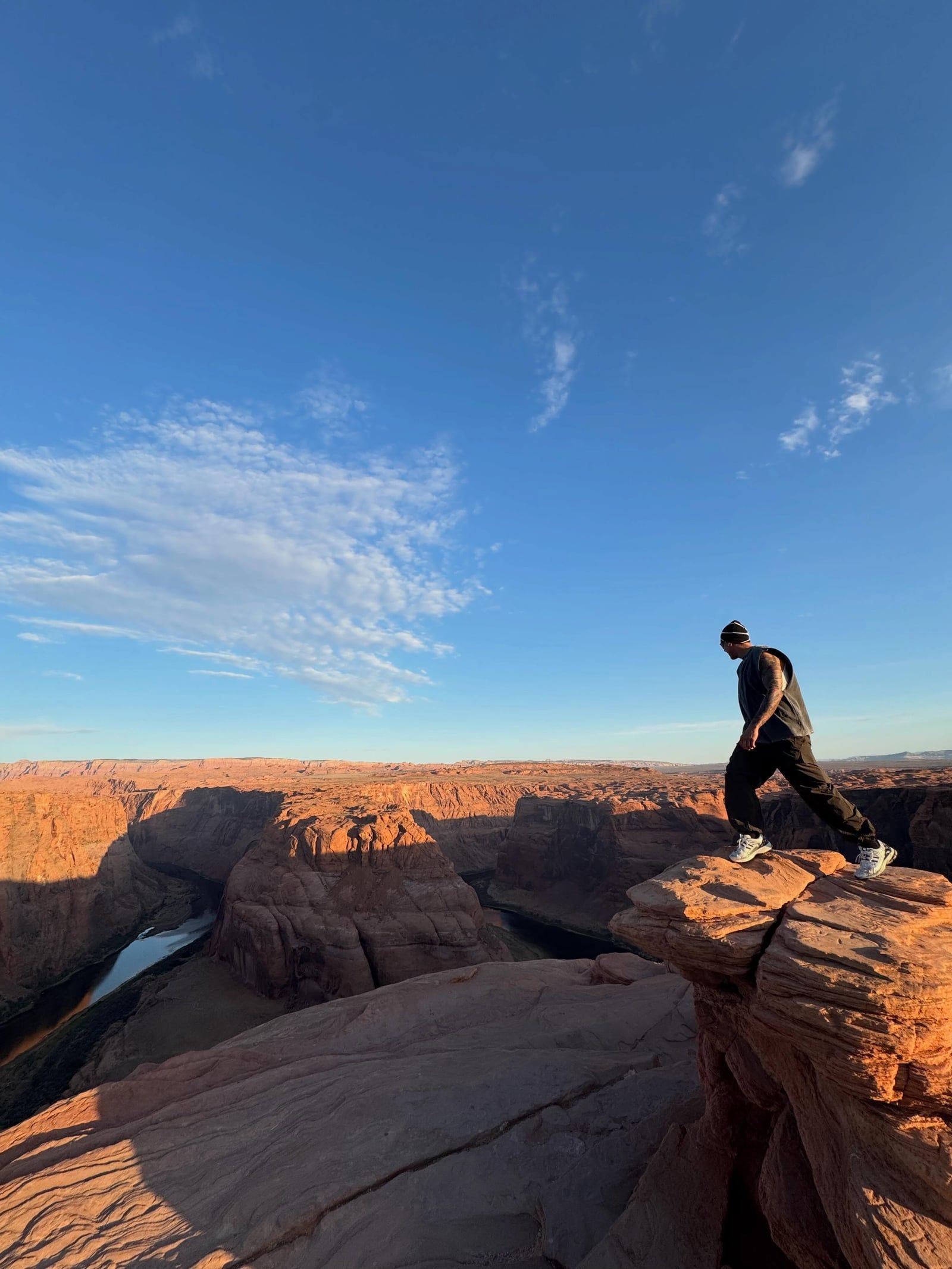
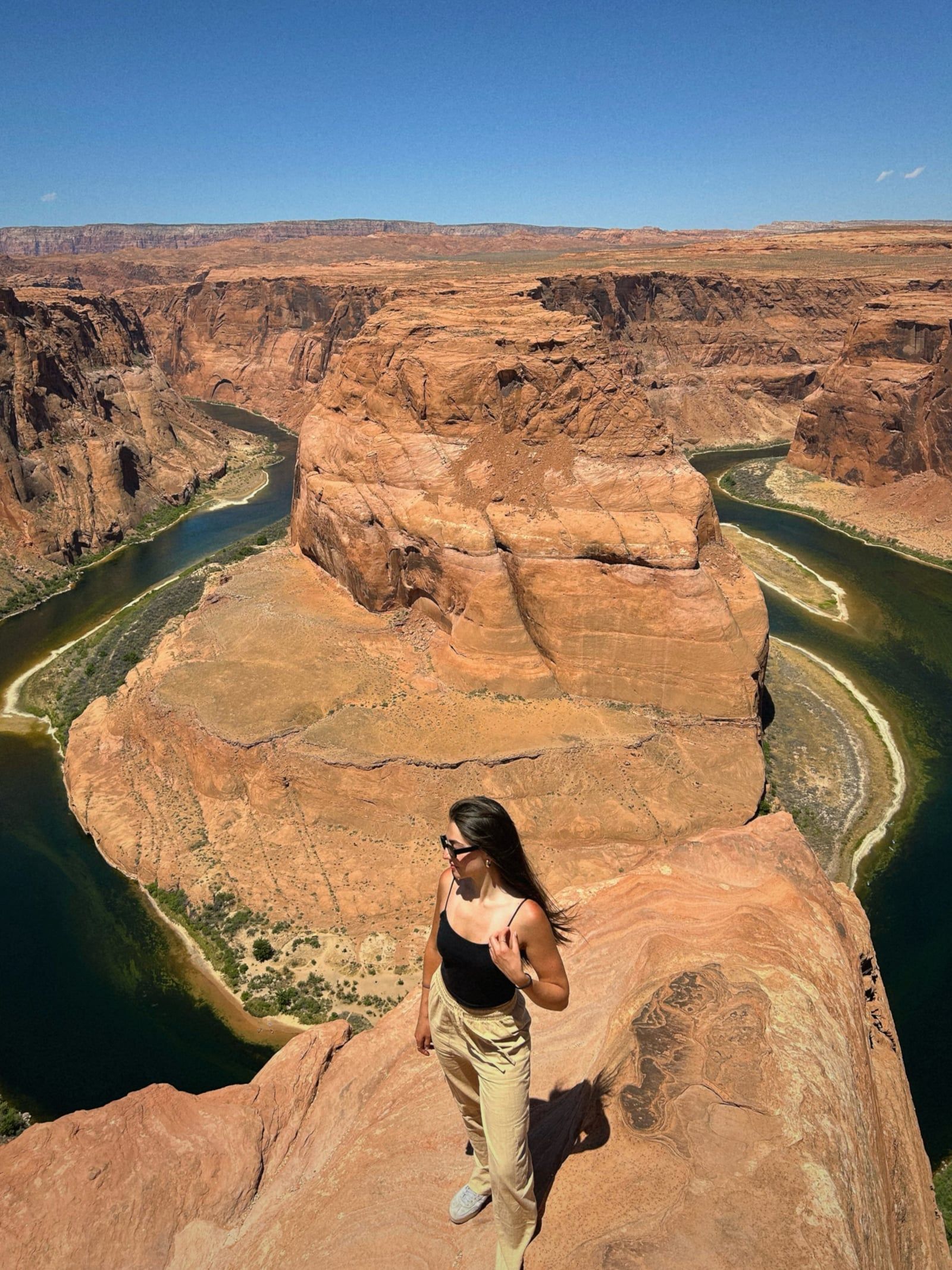
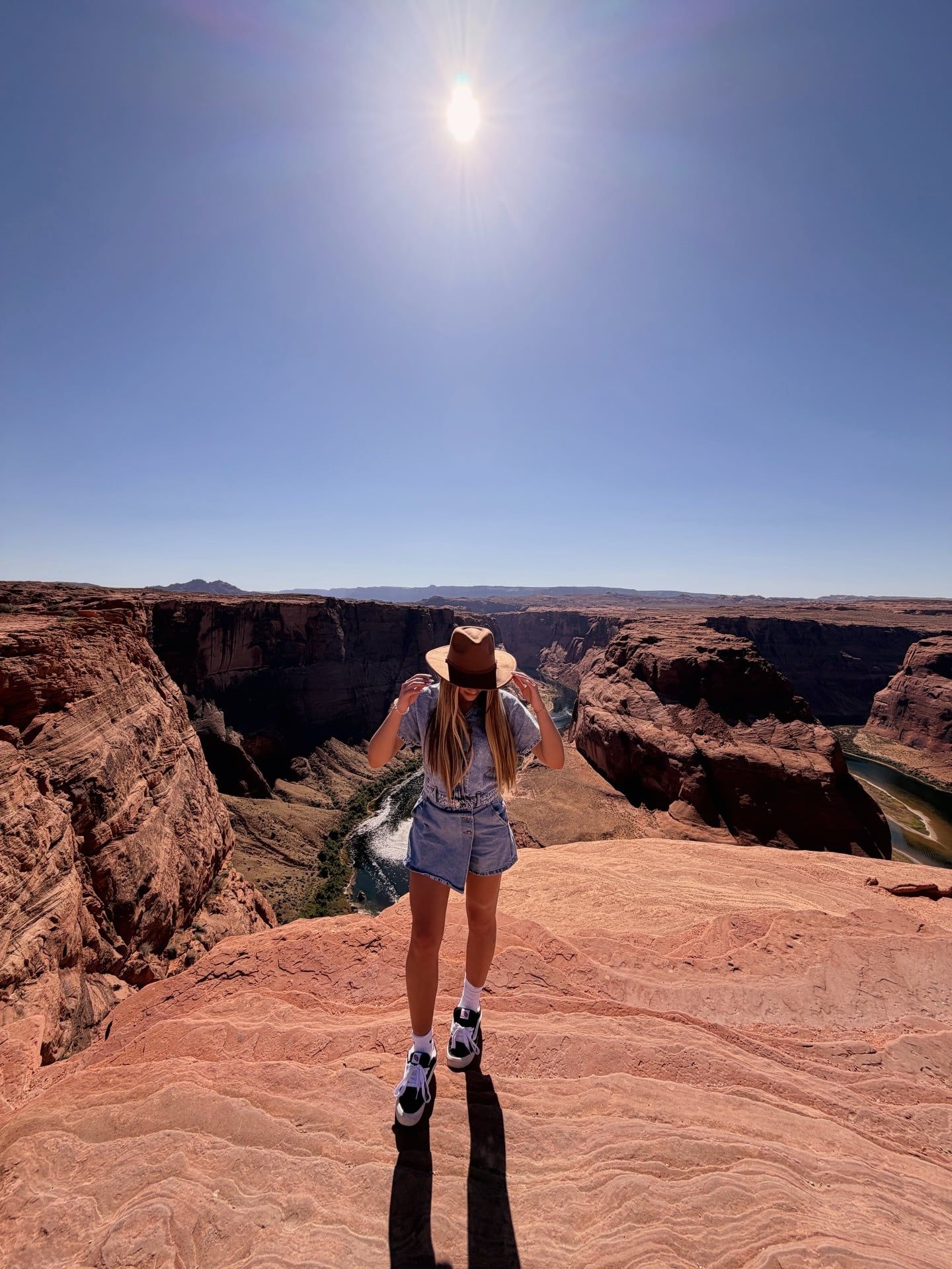
Stand at the edge of the unfenced sandstone cliffs and look down a sheer 1,000-foot drop. The emerald-green Colorado River winds through a dramatic 270-degree curve below. This massive red-orange Navajo sandstone escarpment provides a stark contrast to the water, creating a highly photogenic geological marvel.
Photographers should aim to arrive between 4:30 pm and 6:00 pm from spring through fall. The late-afternoon sun pulls the Colorado River out of deep shadows during this window. It casts a warm orange glow across the towering canyon walls, providing optimal lighting conditions for capturing the landscape.
Walk the 0.6-mile hard-packed sand trail to reach the wooden-and-steel viewing platform. Located on the left branch of the path, this ADA-compliant area features the rim's only guardrails. It provides a secure vantage point for families and visitors using mobility devices to safely observe the 1,000-foot canyon depth.
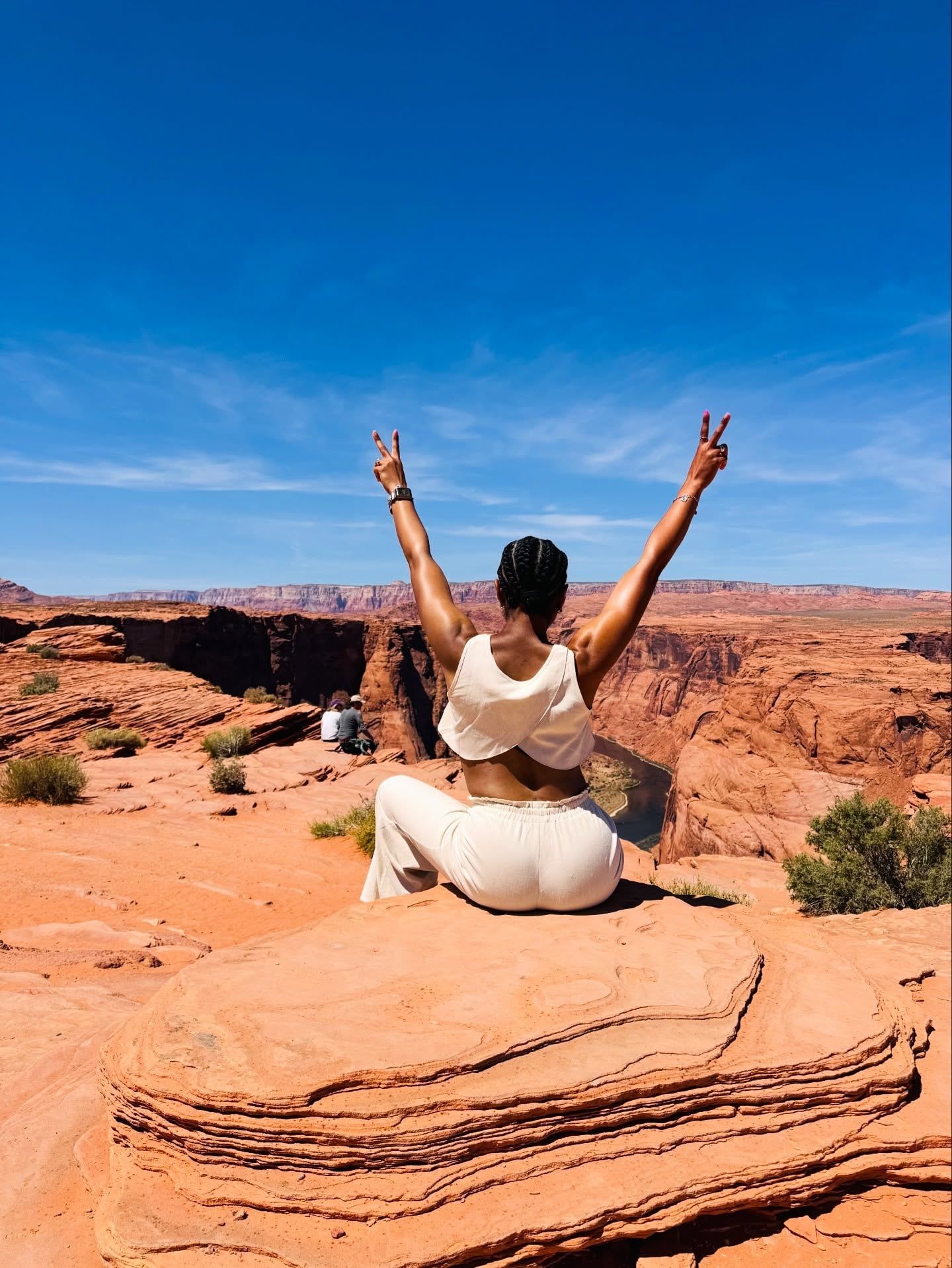
Hike a short distance away from the main viewing platform to find a quiet spot along the rocky cliffs. Stepping away from the heavy tourist crowds allows you to secure a private rock for a peaceful desert picnic while observing the 190-million-year-old Navajo sandstone formations.
Hand-picked tours with free cancellation and verified reviews
 Free Cancellation
  Free Cancellation 15h
  Free Cancellation
  11h 30min
  Free Cancellation
  48h
48h  Free Cancellation 9h
  Free Cancellation 3h
 The ideal time to visit Horseshoe Bend is during the fall, specifically from late September to early November, when mild temperatures provide comfortable hiking conditions. Spring also offers pleasant weather, though visitors should anticipate heavy crowds.
April and May provide pleasant weather for hiking the 0.6-mile trail. Visitors should expect heavy crowds during this season, making early arrivals necessary to secure a parking spot.
Temperatures regularly exceed 100°F (38°C) with virtually no shade on the trail. Hiking during these peak months poses a severe risk of heat exhaustion and dehydration.
Late September to early November brings milder desert temperatures that are comfortable for hiking. This season avoids extreme heat while maintaining excellent lighting conditions at the rim.
Winter brings cold, biting winds to the exposed 1,000-foot canyon rim. While hikers may sweat on the trail, they must wear heavy layers to stay warm at the overlook.
The entrance gate operates 365 days a year from sunrise to sunset, including major holidays like Thanksgiving, Christmas, and New Year's Day. Entry to the parking lot is strictly prohibited before sunrise and after sunset. Visitors already inside the park at sunset are permitted to stay past dark to complete their hike.
| Category | Price |
|---|---|
| Standard passenger vehicle (cars, trucks, SUVs, RVs, motorhomes) | $10 |
| Motorcycle (1-2 passengers) | $5 |
| Commercial van (up to 14 passengers) | $35 |
| Mid-size tour bus (15-35 passengers) | $70 |
| Full-size bus (35+ passengers) | $140 |
Access to the Horseshoe Bend overlook is free, but the City of Page charges a mandatory parking fee at the trailhead. National Park Passes, such as the America the Beautiful pass, are not accepted because the lot is municipally operated. Standard self-guided visits do not require advance reservations, but parking passes do not allow for re-entry.
For complete schedules and ticket prices, visit our Hours & Fees page.
Horseshoe Bend is located just south of Page, Arizona, along U.S. Highway 89. Visitors can reach the site by driving from regional hubs like Flagstaff and Las Vegas, or by taking a direct flight into Page Municipal Airport.
📍 Mile Marker 544, U.S. Highway 89, Page, Arizona
Drivers heading from Flagstaff should take U.S. Highway 89 north for approximately 125 miles. The route leads directly to the site, located just south of the town of Page. The parking lot entrance is clearly marked on the west side of the highway at mile marker 544. Visitors must pay a mandatory parking fee upon arrival at the gate.
Travelers originating in Las Vegas will start on Interstate 15 North before transitioning onto U.S. Highway 89 South. This route heads directly toward Page, Arizona, covering a distance of 280 miles. Drivers need to monitor the local time during this trip. Arizona does not observe Daylight Saving Time, which can cause scheduling confusion when crossing state lines.
Contour Airlines provides direct regional flights into Page Municipal Airport from both Phoenix and Las Vegas. Once on the ground, visitors can secure a vehicle from Avis, the only rental agency operating on-site. From the airport, it is a quick five-mile drive south to reach the trailhead. This option saves significant driving time for those traveling from major cities.
For detailed transport options and routes, visit our Directions page.
There are no water fountains or sinks along the 0.7-mile trail or at the overlook. Summer temperatures frequently exceed 100°F, posing a severe risk of heat stroke. You must carry at least one liter of water per person to stay safely hydrated in this dry desert environment.
The City of Page charges a mandatory $10 parking fee for standard passenger vehicles. National Park passes like the America the Beautiful pass are not accepted at this lot. Bringing cash helps bypass credit card processing lines and avoid unnecessary wait times during major holidays.
The trail and the overlook area are covered in loose sand and slick Navajo sandstone. Sandals and flip-flops are highly impractical and unsafe for this terrain. Sturdy, closed-toe hiking shoes are essential to maintain good traction and prevent slipping near the steep, 1,000-foot canyon edge.
Arriving at the overlook between 4:30 pm and 6:00 pm from spring through fall provides the best lighting for photography. The late-afternoon sun lifts the Colorado River out of deep shadows. This specific timing casts a warm orange glow across the massive canyon walls.
Cellular service is highly spotty and unreliable around the trailhead and along U.S. Highway 89. You will likely lose your connection as you approach the site. Be sure to download your driving maps and trail guides offline before heading out into these remote stretches of the desert.
Pets are permitted on the trail but must remain on a leash at all times. The desert sand and rocks absorb intense heat, reaching temperatures high enough to burn dog paws. Keep pets off the hot ground during midday hours or protect their feet with specialized booties.
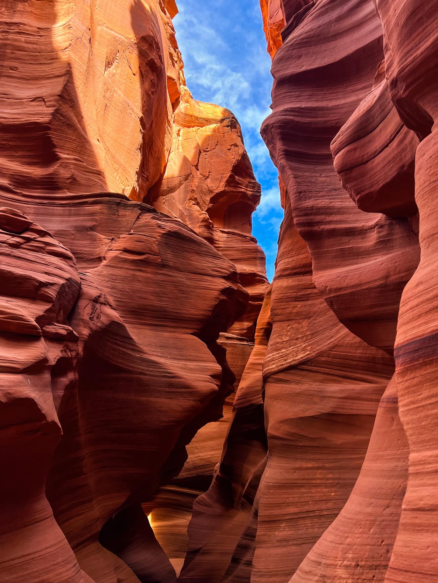
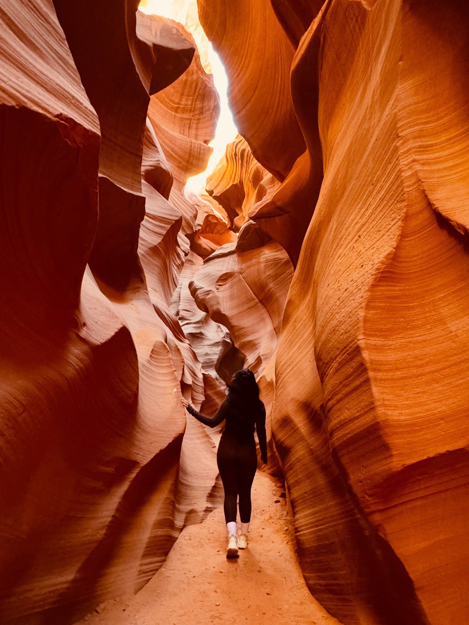
Millions of years of water erosion carved the sandstone corridors of this famous slot canyon. You must book a guided tour in advance to walk through the passages and photograph the distinct light beams.
Positioned just north of Page, this structure is the second-highest concrete-arch dam in the United States. The Carl Hayden Visitor Center provides educational tours, historical exhibits, and wide views across Lake Powell.
This massive man-made reservoir provides space for kayaking, powerboating, and swimming. You can rent watercraft directly at Wahweap Marina or hike the rugged trails surrounding the deep blue water.
Read what travelers share about their experience visiting Horseshoe Bend — from practical tips to personal highlights.
No reservations or permits are required for standard self-guided visits. The overlook itself is free, but the City of Page charges a mandatory parking fee at the gate. As of April 2026, parking costs $10 for standard passenger vehicles and $5 for motorcycles.
National Park passes are not accepted at Horseshoe Bend. The parking lot is owned and operated by the City of Page rather than the National Park Service, so all visitors must pay the standard $10 vehicle fee.
To capture the best photographs, plan to arrive at the overlook between 4:30 pm and 6:00 pm from spring through fall. This late-afternoon lighting prevents the Colorado River from being hidden in deep shadows. For a quieter visit with easier parking, arrive right at sunrise or between 9:00 am and 11:00 am.
The entrance to the Horseshoe Bend parking lot is located on the west side of U.S. Highway 89 at mile marker 544. This is approximately 5 miles south of Page, Arizona, and 125 miles north of Flagstaff. Dropping off passengers or parking on the highway shoulder is illegal and will result in a ticket and towing.
The round-trip hike is approximately 1.2 to 1.5 miles, depending on which path you take. Walking the trail typically requires 15 to 20 minutes in each direction. Most visitors spend between 1 and 1.5 hours total to complete the walk and enjoy the view.
You must bring at least one liter of water per person, as there are no drinking fountains or emergency facilities along the 0.7-mile trail. Wear sturdy, closed-toe shoes to navigate the loose sand and slick sandstone near the 1,000-foot drop. Sun protection is also critical, especially during the summer when temperatures regularly exceed 100°F (38°C).
The site is partially wheelchair accessible via the left branch of the trail, which features a wider, gentler-graded, packed-sand surface leading to a fenced viewing platform. Power wheelchairs can navigate this path independently. Standard manual wheelchairs will require an assistant to help push on the return uphill leg.
Launching, landing, or operating drones is strictly prohibited at Horseshoe Bend and within the surrounding Glen Canyon National Recreation Area. The site is located in protected airspace, and violators face penalties from the National Park Service.
Browse verified tours with free cancellation and instant confirmation.
Find Tours